Satellite imagery resources & app
For agriculture, environment, land use change, and more.
Articles
-
 Fluorescence Correction Vegetation Index (FCVI) for high biomass crops
-
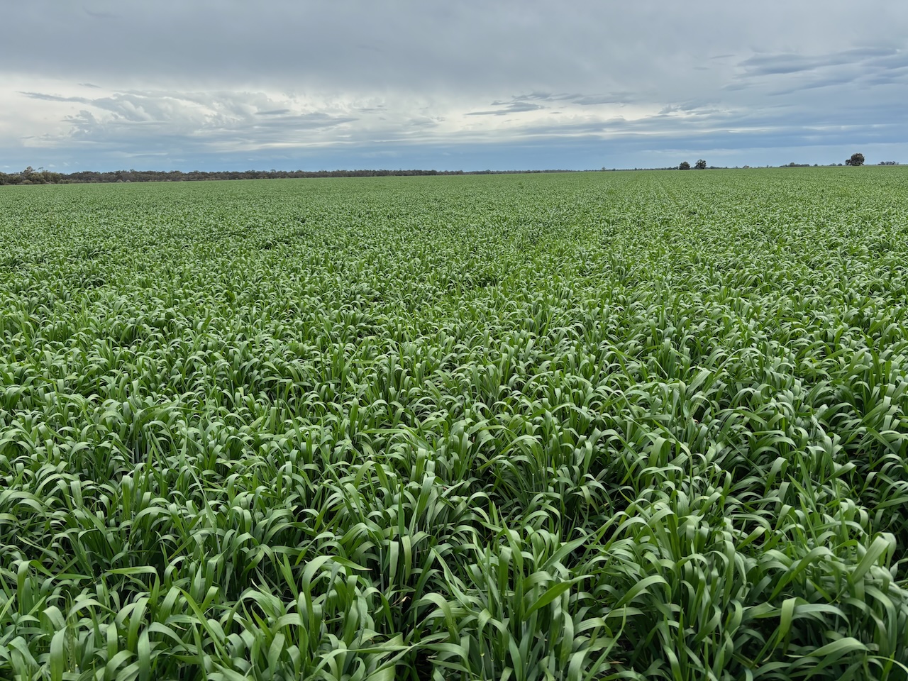
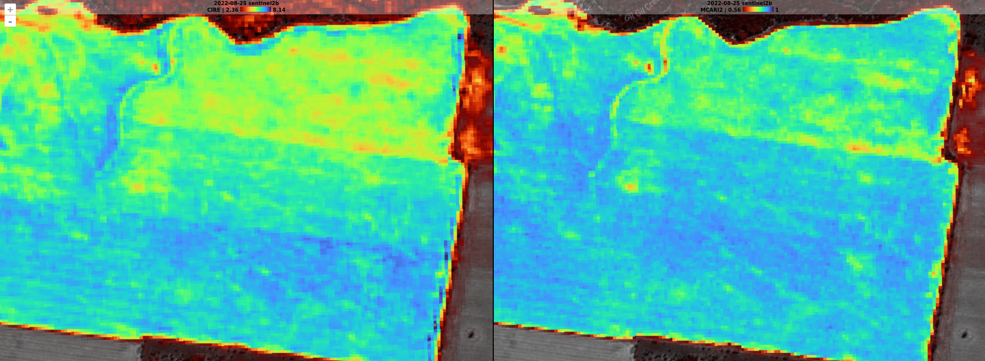 Using red-edge indexes for greater crop insights
-
 Examining Emerging Crops with Satellite Imagery
-
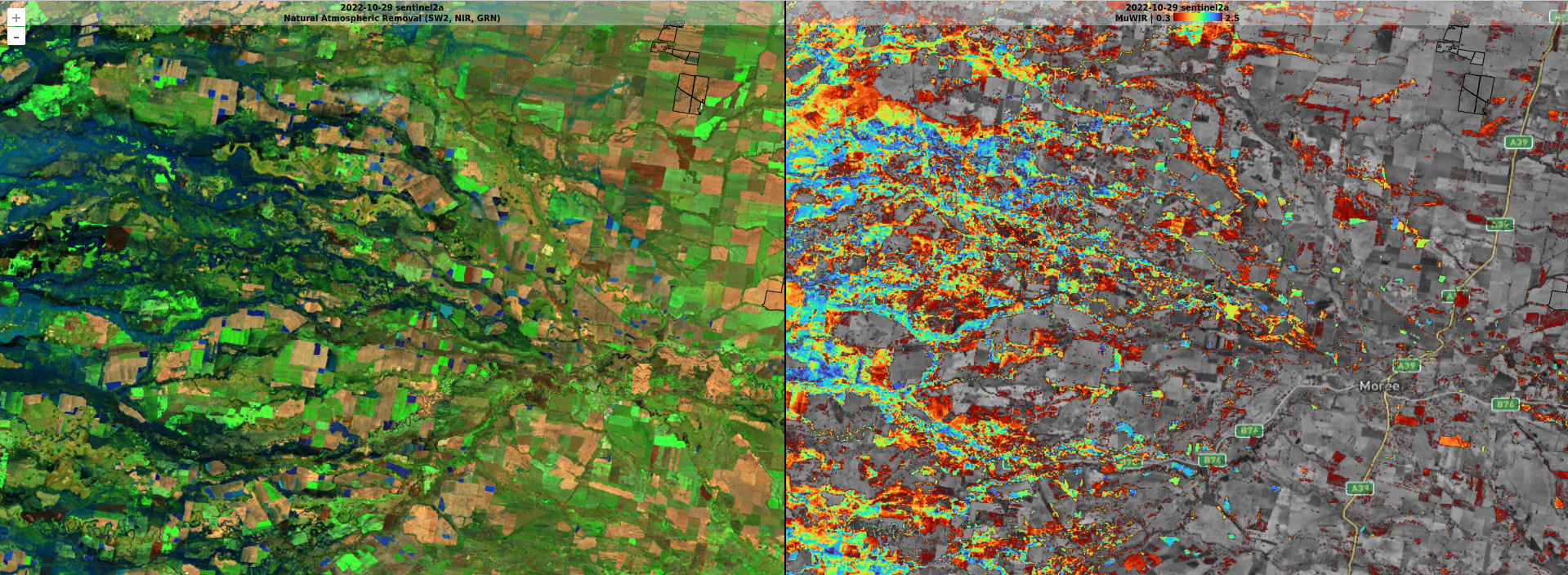 Detecting and Visualising Water
-
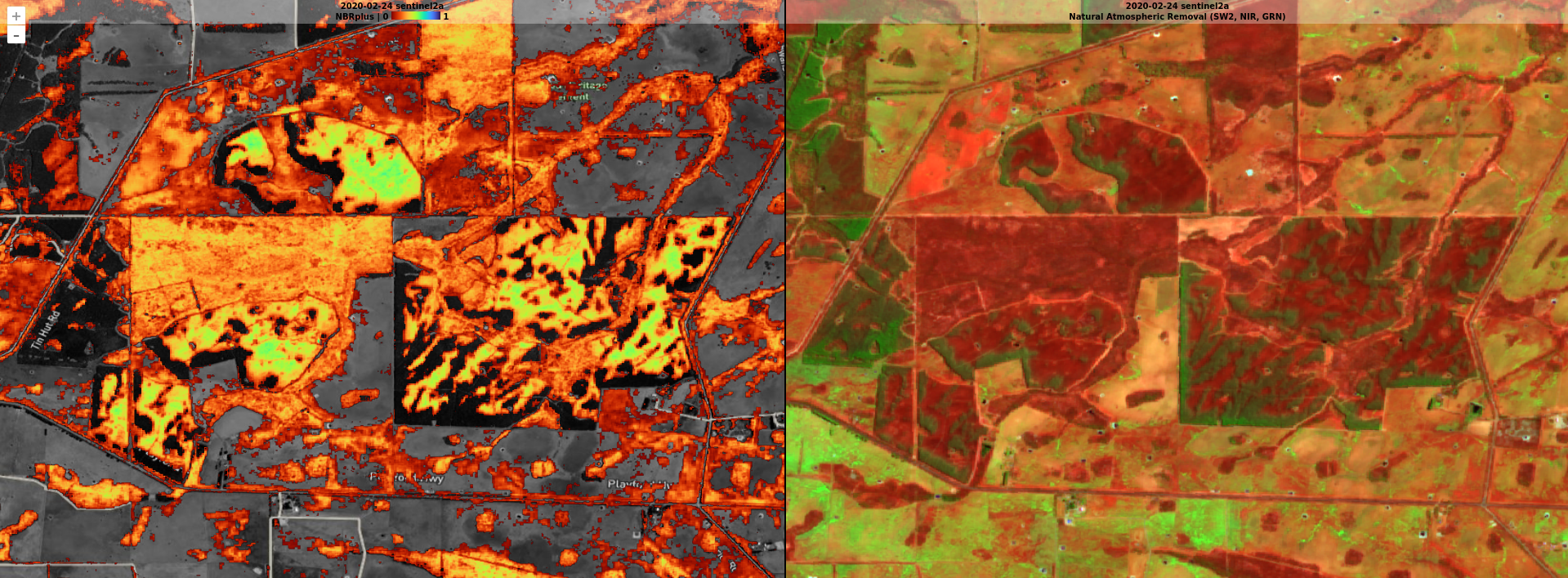 Detecting and Visualising Burnt Areas
-
 Using Satellite Imagery for Efficient Crop Monitoring / Scouting
-
 Detecting Fallow Weeds with Satellite Imagery
-
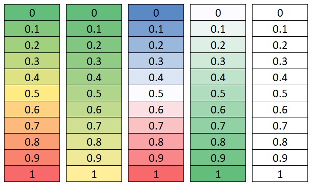 Colour Maps for Satellite Imagery Derivatives
1sat App
The 1sat app provides access to multiple imagery resources, spectral indices, and a range of features to help you get the most out of your satellite imagery.
Solutions For
- Landuse change
- Rural Real Estate - assessment & promotional material
- Agriculture - Monitor vegetation health
- Agriculture - Regional seasonal conditions
- Agriculture - Monitor water storages
- Investment & Town Planning - Track urban growth
- Insurance - Assess disaster impacts - fire and water
- Environmental - Monitor vegetation health
- Data for your GIS application (QGIS, ArcGIS etc)
- Share imagery as reports with clients & colleagues
Key Features
- Access multiple imagery resources (1984-present)
- Spectral indices such as NDVI, Chlorophyl Red Edge, Water Index plus over 100 more available.
- Fully dynamic range slider so you set your color scale range for maximum impact.
- Built in reporting tool so you can send custom branded imagery visualizations to your clients from within the app.
- Export full resolution GeoTiff files for use in your GIS application.
- Offline mode so you can take your imagery with you.
- Multi-map view to compare different dates and processing types
- GPS location marker
Coming soon! Get in touch if you'd like early access.
Support
For support, please email to admin@1sat.sh or call Ben at +61-428-548-688.